Description
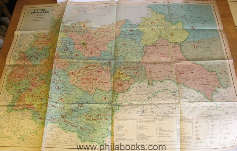
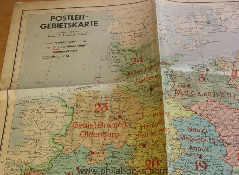
1944, postal code area map, edited by the Reichspostzentralamt, Berlin, format 108x83 cm, multi-colored, with the postal code area boundaries marked on it with the postal codes printed on them, the postal code centers, district capitals and the district boundaries, folded, heavy signs of use, but no missing parts, backed in some places, rare original map, ex Ritter. #57242


