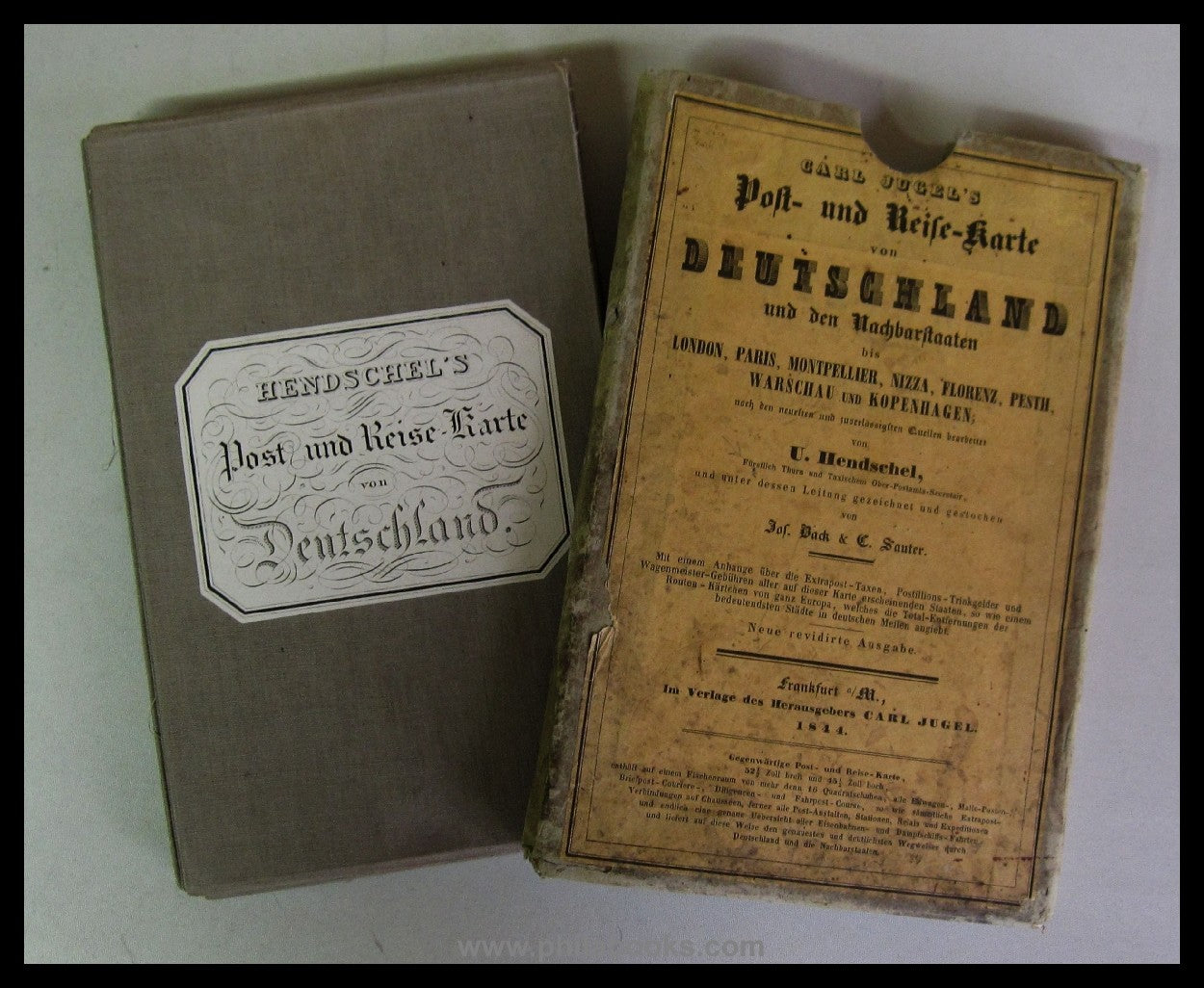
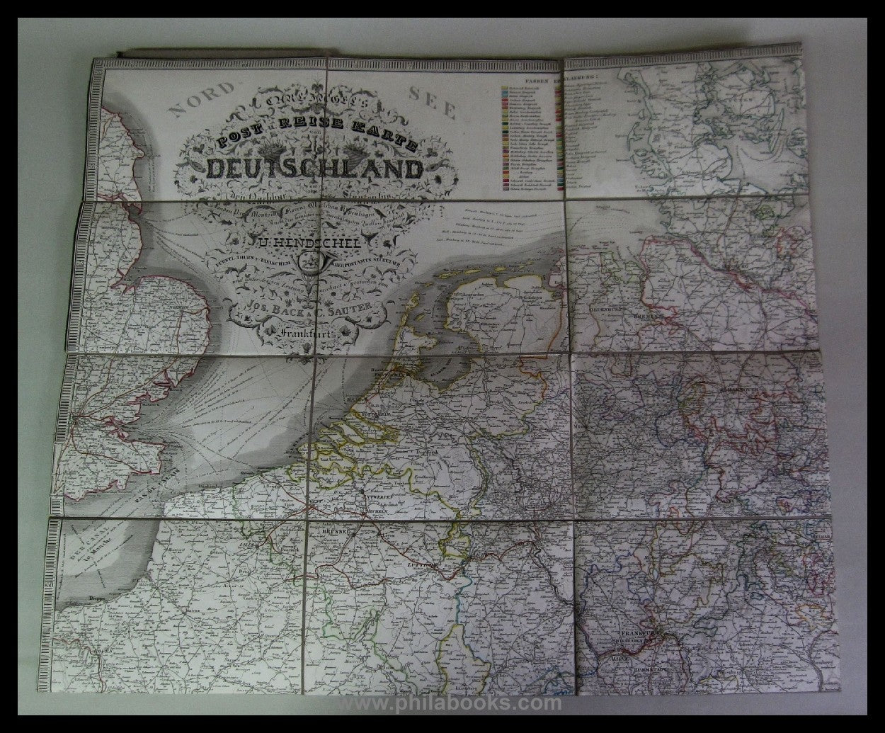
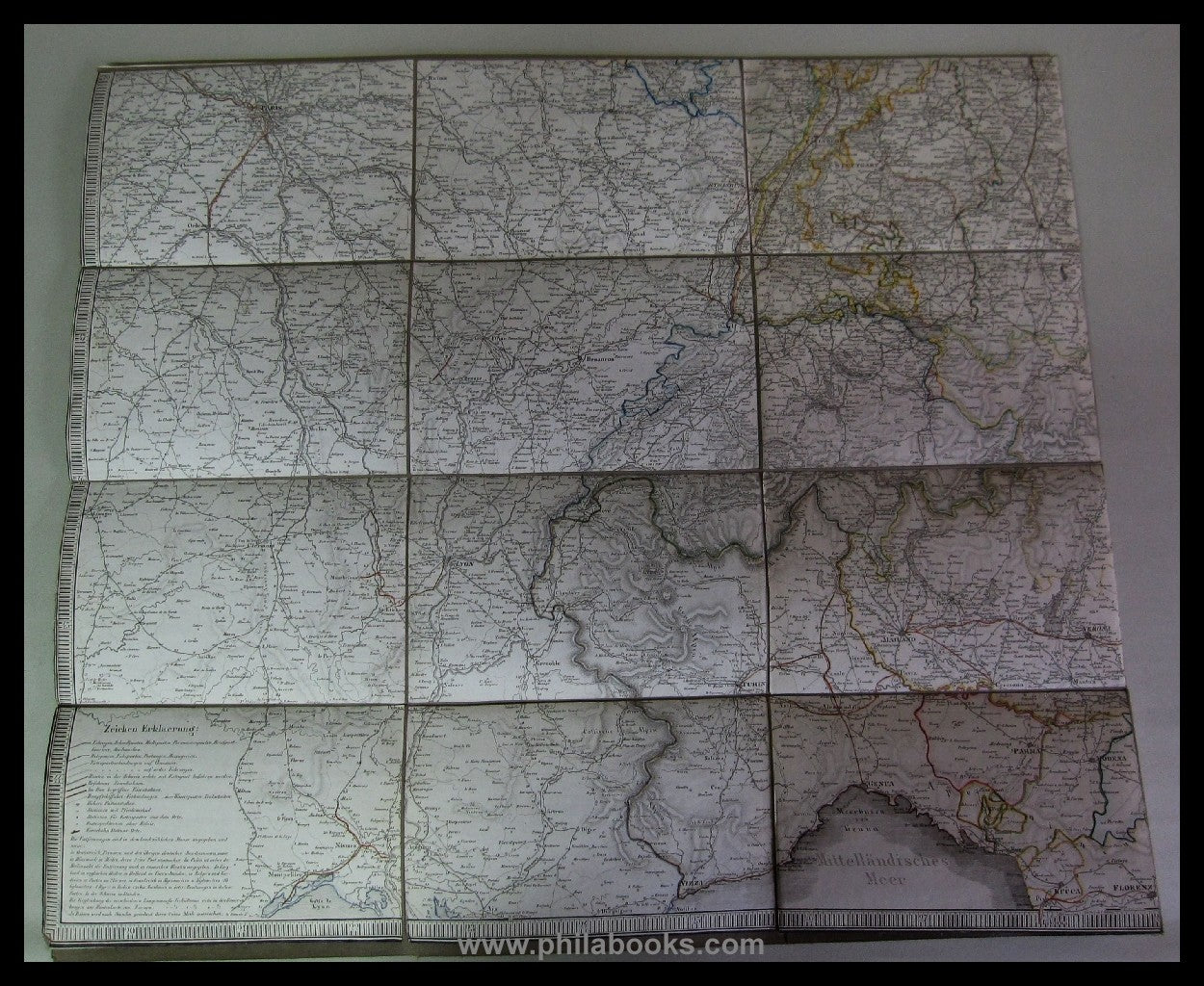
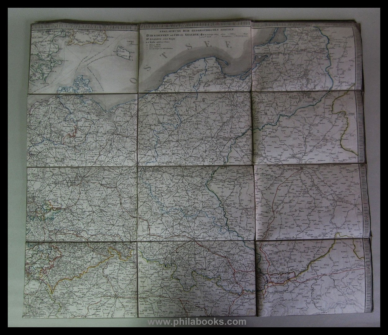


Description
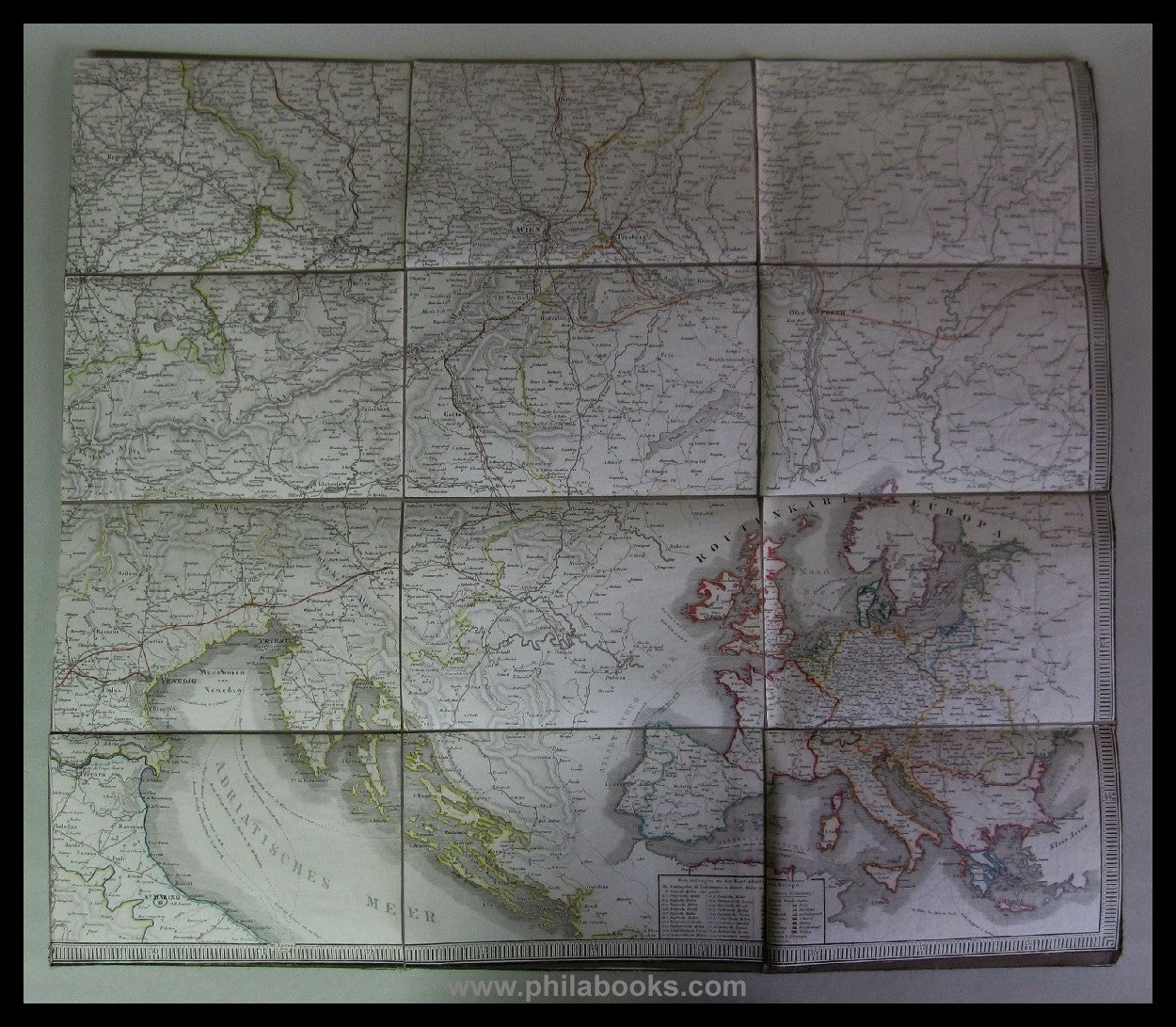
1844, Carl Jügel's postal and travel map of Germany and the neighboring countries to London, Paris, Montpellier, Florence, Warsaw, Copenhagen based on the newest and most reliable sources, edited by U. Hendschel, Princely Thurn and Taxis Chief Post Office Secretary and drawn and engraved under his direction by Jos. Back & C. Sauter, Frankfurt a. M., 1844. Mounted on linen in 36 segments, total size 109 x 125 cm, with slipcase, good to very good condition, ex Pietz #69360