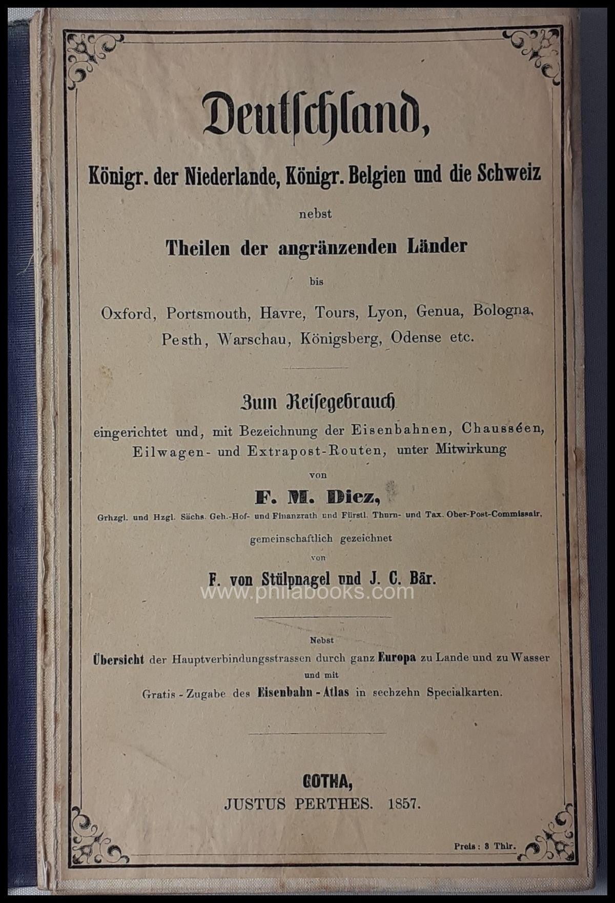


Description
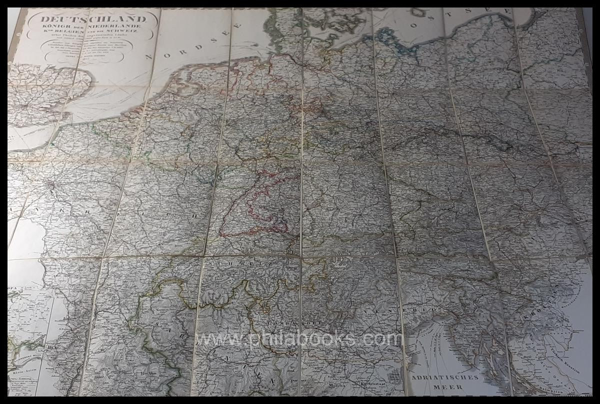
Diez Germany, Kingdom of the Netherlands, Kingdom of Belgium and Switzerland together with parts of the neighboring countries…, set up for travel use and, with designation of railways, highways, express carriage and extra post routes, Gotha, Justus Perthes, 1857, border-colored map with red marked railway lines in 32 segments on linen in the original cover, total size of the unfolded map 88x106 cm, slight signs of age and use, well preserved #72542